Engadine
Article Sidebar
Main Article Content
Abstract
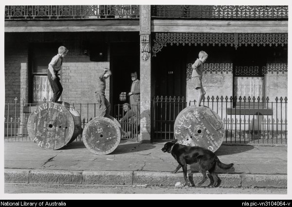
The township of Engadine in Sutherland Shire is on the Old Princes Highway (formerly Princes Highway) and the Illawarra railway line. It borders the Royal National Park on the eastern side and is sited along a ridge with a steep decline to the Woronora River to the west. It is very rocky with underlying layers of Hawkesbury sandstone and shallow topsoil.
The earliest inhabitants of Engadine were the Dharawal people.
In 1844, a road from Sydney to the Illawarra district was opened, which established access to an area near the Woronora River in the parish of Heathcote. However, the road was not well used as it was difficult to traverse, and cargo was generally transported by ship down the coast.1 By 1865, a new route was established from Sylvania.
Article Details
Issue
Section
Authors who submit articles to this journal from 31st March 2014 for publication, agree to the following terms:
a) Authors retain copyright and grant the journal right of first publication with the work simultaneously licensed under a Creative Commons Attribution License that allows others to share and adapt the work with an acknowledgement of the work's authorship and initial publication in this journal.
b) Authors are able to enter into separate, additional contractual arrangements for the non-exclusive distribution of the journal's published version of the work (e.g., post it to an institutional repository or publish it in a book), with an acknowledgement of its initial publication in this journal.
c) Authors are permitted and encouraged to post their work online (e.g., in institutional repositories or on their website) prior to and during the submission process, as it can lead to productive exchanges, as well as earlier and greater citation of published work (See The Open Access Citation Advantage Service). Where authors include such a work in an institutional repository or on their website (ie. a copy of a work which has been published in a UTS ePRESS journal, or a pre-print or post-print version of that work), we request that they include a statement that acknowledges the UTS ePRESS publication including the name of the journal, the volume number and a web-link to the journal item.
d) Authors should be aware that the Creative Commons Attribution (CC-BY) License permits readers to share (copy and redistribute the work in any medium or format) and adapt (remix, transform, and build upon the work) for any purpose, even commercially, provided they also give appropriate credit to the work, provide a link to the license, and indicate if changes were made. They may do these things in any reasonable manner, but not in any way that suggests you or your publisher endorses their use.
For Vol 4 No 1 (2013) and before, the following copyright applied:
This material is published under an ‘Attribution-Noncommercial-No Derivative Works 2.5 License’ under the Creative Commons framework.